Skip to content
  • Map
  • Route Finder
  • Route Planner
  • Travel Guide
  • Community
Sign up or log in
  • Map
  • Route Finder
  • Route Planner
  • Travel Guide
  • Community
Sign up
  • Places & Accommodation
    • Places to visit
    • Eat & drink
    • Huts
    • Accommodation
    • Ski resorts
    • Crags
  • News & Conditions
    • Current Conditions
    • Weather
    • Webcams
    • Avalanche Report
    • Events
  • Inspiration
    • Collections
    • Offers
    • Travel Stories
    • Publications
  • Community
    • Challenges
    • Groups
  • Settings
  • Help
Travel Guide Germany Lower Saxony Naturpark Harz
more
  • Rock formation Teufelsmauer
    Rock formation Teufelsmauer Photo: Susagep, CC BY-SA, Wikimedia Commons

Naturpark Harz

A Nature Park is a protected landscape that has been preserved in its present state by means of long-term planning and agriculture and is promoted in terms of tourism.

Area: 702.23 km²
Find out more
Digitize the Planet e.V.  Verified partner 
Author of this page
LogoDigitize the Planet e.V.

Activities in Naturpark Harz


hikes
mountain biking trails
bike rides
long-distance hikes
cross-country ski trails
nature trails
winter hikes road cycling routes trail runs bicycle tours motor bike routes scenic routes runs sledding runs mountain hikes horse rides ski tours snowshoe walks pilgrim walks Ski resorts caravan trips Crags

Attractions in Naturpark Harz
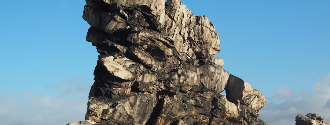
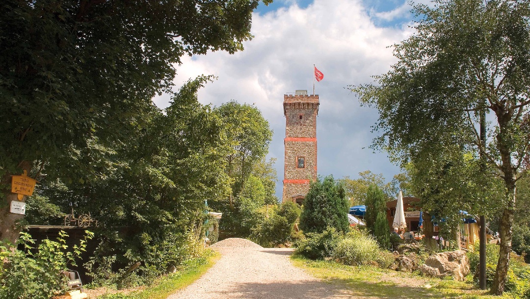

Highlights

  • My Map
  • Content
  • Show images Hide images
Features
2D 3D
Maps and trails
Discover
Hiking route · Goslar
From the Oldtown Goslar to the Rammelsberg Museum & Visitor Mine
Toprecommended route Difficulty moderate
Distance 6.4 km
Duration 1:45 h
Ascent 157 m
Descent 157 m

How did mining change the landscape around Goslar? You can find out on this circular walk.

2
from Lea Dirks,   UNESCO-Welterbe Bergwerk Rammelsberg, Altstadt von Goslar und Oberharzer Wasserwirtschaft
Bicycle Touring · Braunschweiger Land
Harz-Vorland-Radweg
Toprecommended route Difficulty moderate
Distance 451 km
Duration 64:00 h
Ascent 4,800 m
Descent 4,800 m

Schladen – Hessen – Halberstadt – Quedlinburg – Meisdorf – Wippra – Sangerhausen – Tilleda – Nordhausen – Bad Sachsa – Fuhrbach – Duderstadt – ...

from Thomas Kempernolte, Elm-Freizeit,   Allianz für die Region GmbH
Hiking route · Harz
Sepp-Ruf-Hütte (SRH7), 17 ponds round 26 km (HWN127, HWN128, HWN137)
Toprecommended route Difficulty difficult
Distance 25.5 km
Duration 6:35 h
Ascent 263 m
Descent 258 m

A full day's hike from the SRH along the pond landscape alongside the Clausthal-Zellerfeld waterways works. There are also 3 stamp points to visit ...

2
from Michael Kaufmann,   alpenvereinaktiv.com
Hiking route · Harz
Sepp-Ruf hut (SRH4), Bad Grund Weltwald, loop 21 km (HWN129)
Toprecommended route Difficulty moderate
Distance 20.7 km
Duration 6:05 h
Ascent 550 m
Descent 551 m

Take the direct route to Bad Grund, then a southern bend to the north where the world forest is located and where you will also find the stamp.

1
from Michael Kaufmann,   alpenvereinaktiv.com
Hiking route · Harz
Sepp-Ruf-Hütte (SRH5), Spiegeltal round trip 23 km (HWN105)
Toprecommended route Difficulty difficult
Distance 22.3 km
Duration 6:10 h
Ascent 402 m
Descent 386 m

From the SRH, the route leads to Wildemannand past the Prinzenlaube with a stepping stone into the Spiegeltal valley. From the Zechenteichen ponds, ...

1
from Michael Kaufmann,   alpenvereinaktiv.com
Hiking route · Harz
Harzüberquerung von Osterode nach Bad Harzburg
Toprecommended route Difficulty difficult
Distance 46.4 km
Duration 10:00 h
Ascent 1,110 m
Descent 1,088 m

Konditionell sehr fordernde Tour von Osterode einmal quer durch den Harz, entlang vieler landschaftlicher Highlights, nach Bad Harzburg.

2
from Christoph W.,   Community
Hiking route · Harz
Tolle Harzwege mit Brockenblick Radauwasserfall-Molkenhaus-Eckerstausee-Scharfensteinklippe
Toprecommended route Difficulty moderate
Distance 21.6 km
Duration 5:56 h
Ascent 460 m
Descent 460 m

Radau - Radauwasserfall - Radau-Stollen - Winterbergklippe - Rudolfklippe - Winterberg - Molkenhaus - Ecker - Eckerstaudamm und Eckerstausee - ...

1
from P S Team Mensch Hund,   Community
Discover more
  • My Map
  • Content
  • Show images Hide images
Features
2D 3D
Maps and trails
Discover

Discover the region

Accommodation
Eat and drink
Webcams
huts

Trip planning


Weather

Webcams

  • Webcam · Harz
    Harz › North-West
  • Webcam · Harz
    Braunlage › North-West
  • Webcam · Harz
    Braunlage: Hexenexpress - Wurmberg
  • Webcam · Harz
    Braunlage: Hexenritt-Alm - Wurmberg
  • Webcam · Harz
    Braunlage: Nordhang - Wurmberg
  • Webcam · Harz
    Bad Harzburg: Livespotting - Live im Harz von der BaumSchwebeBahn in
  • Webcam · Harz
    Braunlage: Zentrum 2
  • Webcam · Harz
    Harz › South
  • Webcam · Harz
    Braunlage › North: Wurmberg
  • Webcam · Harz
    Langelsheim: Wolfshagen - Nordblick
  • Webcam · Harz
    Sankt Andreasberg: DSB1 - Skizentrum Matthias-Schmidt-Berg
  • Webcam · Harz
    Clausthal-Zellerfeld
Show all Webcams in Naturpark Harz

Reviews

  1,366
E1 Mitten durchs Dreiländereck by Matthias
June 10, 2024 · Community
More Show less
Route done on June 08, 2024
Comment
B5 Mollenberg-Tour by Gerwin
June 09, 2024 · Community
Comment
Am Oberharzer Wasserregal hinauf zur Wolfswarte, inkl. 5 HWN-Stempelstellen by Michael
June 09, 2024 · Community
Comment
Show more Show less

Destinations in Naturpark Harz


Nature regions

  • Nature protection area
    Nature protection area · Lower Saxony
    Bachtäler Im Oberharz Um Braunlage
  • Nature protection area
    Nature protection area · Lower Saxony
    Siebertal
  • Fauna-Flora-Habitat area
    Fauna-Flora-Habitat area · Lower Saxony
    Bergwiesen und Teiche bei Zellerfeld
  • Small water region
    Germany
    Granetalsperre
  • Nature protection area
    Nature protection area · Lower Saxony
    Naturschutzgebiet Staufenberg
  • Fauna-Flora-Habitat area
    Fauna-Flora-Habitat area · Lower Saxony
    Oberharzer Teichgebiet
  • Nature protection area
    Nature protection area · Lower Saxony
    Bergwiesen Bei St. Andreasberg
  • Nature protection area
    Nature protection area · Lower Saxony
    Blockschutthalden Am Rammelsberg
  • Nature protection area
    Nature protection area · Lower Saxony
    Priorteich/ Sachsenstein
  • Mountain range
    Harz Mountains
  • Landscape Protection Area
    Landscape Protection Area · Lower Saxony
    Harz (Landkreis Goslar)
  • Fauna-Flora-Habitat area
    Fauna-Flora-Habitat area · Lower Saxony
    Bergwiesen und Wolfsbachtal bei Hohegeiß
  • Special Protection Area
    Special Protection Area · Lower Saxony
    Klippen im Okertal
  • Small water region
    Germany
    Sösetalsperre
  • Fauna-Flora-Habitat area
    Fauna-Flora-Habitat area · Lower Saxony
    Felsen im Okertal
  • Special Protection Area
    Special Protection Area · Lower Saxony
    Südharz bei Zorge
  • Fauna-Flora-Habitat area
    Fauna-Flora-Habitat area · Lower Saxony
    Gipskarstgebiet bei Bad Sachsa
  • Nature protection area
    Nature protection area · Lower Saxony
    Oberharz
  • Nature protection area
    Nature protection area · Lower Saxony
    Gipskarstlandschaft Bad Sachsa und Walkenried
  • Fauna-Flora-Habitat area
    Fauna-Flora-Habitat area · Lower Saxony
    Bergwiesen bei St. Andreasberg
  • Fauna-Flora-Habitat area
    Fauna-Flora-Habitat area · Lower Saxony
    Bachtäler im Oberharz um Braunlage
  • Nature protection area
    Nature protection area · Lower Saxony
    Wurmberg
  • Landscape Protection Area
    Landscape Protection Area · Lower Saxony
    Bergwiesen Und Wolfsbachtal Bei Hohegeiß
  • Small water region
    Germany
    Innerstetalsperre
App Store
Google Play Store
Huawei App Gallery
  • Our services
    • Features
    • Pro and Pro+
    • Pro for Search & Rescue
    • Enjoy benefits and discounts from our partners
    • Vouchers
    • B2B
  • More services
    • Help Center
    • Blog (German only)
    • Shop
    • Newsletter
    • Affiliate Program
    • Contact Us
  • Corporate
    • Discover Outdooractive
    • Outdooractive30
    • Careers
    • Outdooractive Business
Learn more about the apps for Android and iOS
1% for the Planet Digitize the Planet
Choose a language
English
  • Deutsch
  • italiano
  • français
  • español
  • עברית
  • 中文
  • română
  • português (Portugal)
  • português (Brasil)
  • čeština
  • suomi
  • русский
  • magyar
  • norsk bokmål
  • slovenčina
  • Nederlands
  • 日本語
  • українська
  • हिन्दी
  • Türkçe
  • Ελληνικά
  • Mobile version
  • Terms and conditions
  • Privacy policy
  • Cancellation policy
  • Customer information
  • Terms of payment
  • Map information
  • Legal Disclosure